Day 64
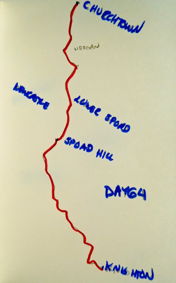
Knighton to Churchtown: 11 miles
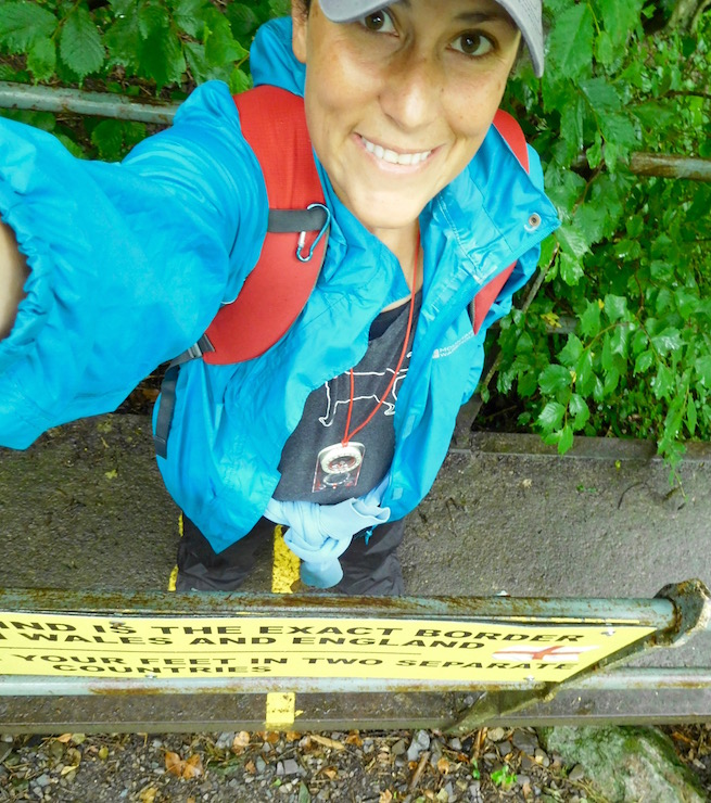
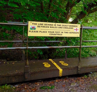
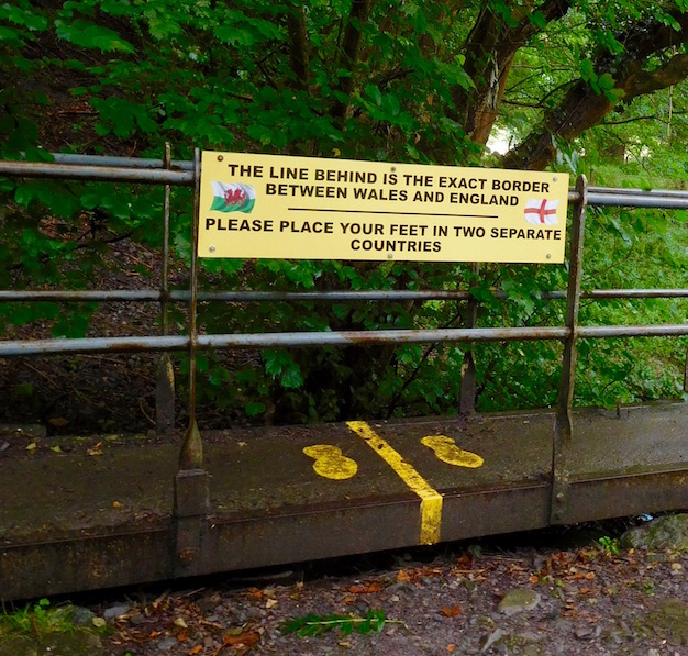
Favorite part of the day: Straddling the England-Wales border
Reason: I didn't even have to bring my passport

Murphy's Law
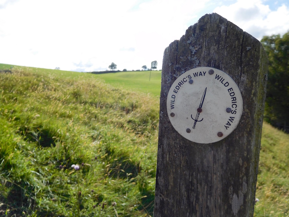
So of course, yesterday was a beautiful day. Because, like I said, Knighton is pretty close to halfway on the Offa's Dyke Path, so I took a rest day, during which I visited the Offa's Dyke Center, meeting the replica of King Offa himself, seeing details about what little was known of the construction of the Dyke and learning about the opening of the path in the 70s.
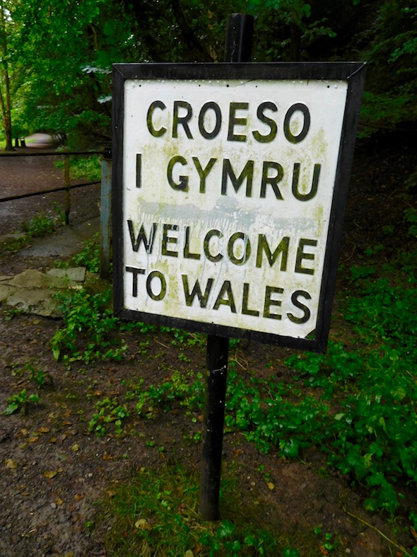
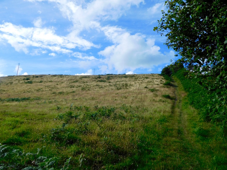
In any case, of course after a sunny rest day today would be a rainy day. It wasn't all rainy, but it certainly started that way. As I left the Red Lion Inn, it seemed to be more misty. As I went behind the Offa's Dyke Centre and took my picture at the Welsh-English border (one of 27 times you cross the border on this hike) half in Wales and half in England, it seemed like the rain had blown over. Then I did a long, fairly steep climb up the first hill of the day. And of course rain started blowing sideways into my face.

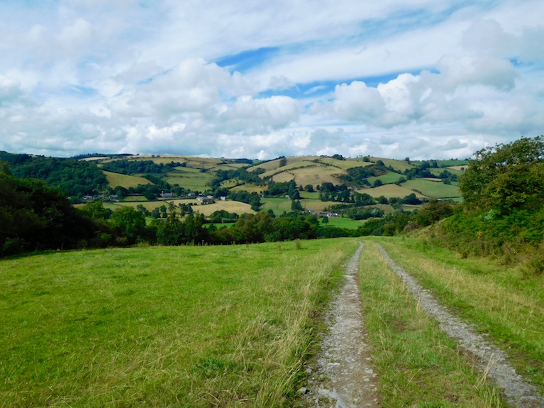
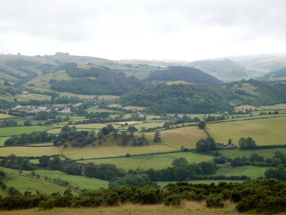
I had my waterproofing on, so it wasn't really a problem - but the landscape I could see looked pretty varied, and I would have liked to see more of it. As the path snaked in and out and up and down, I caught sight of a tiny village in the distance with a giant aqueduct in it, nestled between two hills. The whole thing was as picturesque as it could be considering I couldn't see much.
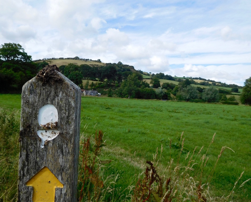
But as the rain alternated between pouring and not at all, I alternated between boiling hot, freezing, and wet as I tried to change my outer layer to suit the weather. This meant I was stopping about every fifteen minutes. Possibly that's how I missed one sign to turn down a hill, and instead ended up following a steep path across a progressively steeper hill into some low hanging trees. Under these trees was basically a giant thick layer of sheep poop covering an area the size of a (almost vertical) basketball court. As I realized this couldn't be a trail I suddenly started sliding. Having visions of myself sliding on my butt down a hill on a slip and slide of wet sheep poop made me particularly cautious - and so it took me a while to find the trail again.

By the time I met up with P the epoxy stuff we'd put on my shoe crack after the duct tape had failed had clearly started to fall out a bit. But my feet weren't soaked so all in all it was better than nothing. The landscape undulated quite a bit, and I couldn't help but notice that the undulations seemed to be more severe than on the more southerly parts of the trail. That meant the scenery was lovely, but my legs were getting tired.
Off to and back from Clun
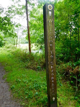
So when we got to where P had parked the car, we decided to try to eat. This of course is no small task in very rural and very sparsely populated northern Powys/Montgomeryshire/western Shropshire (I have to admit it feels really weird that I don't always know what country I'm in). The place closest to the trail was closed, so we went to nearby Clun, because the other hamlets didn't look big enough to support a roadstand nevermind a pub.

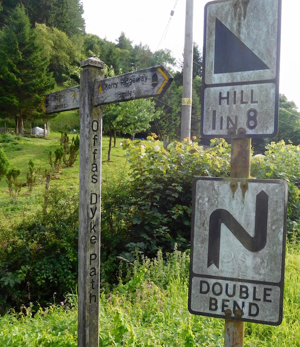
At this point I also noticed how teeny-tiny and. . . vertically curvy the roads were here. Not that Gwynedd didn't have it's share of vertical roads, but these seemed to have the pavement on the edges dropping off into ditches, making you just hope no one ever came the other way, because really what hope would you have not hitting them. I also wondered about eventually having to walk through here.
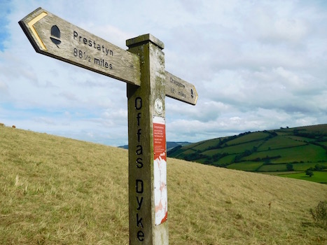
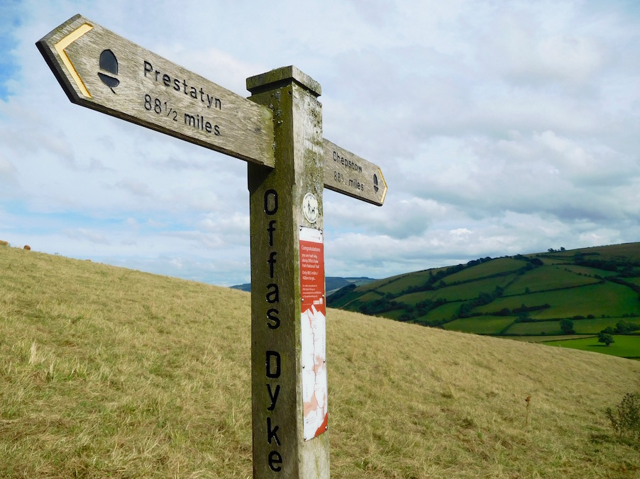
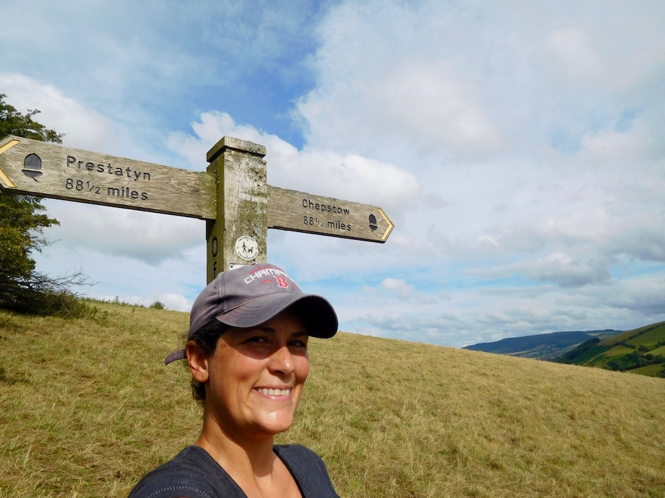
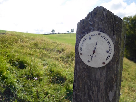
After a nice pint and some macaroni and cheese in Clun (which has a lion's share of pubs and B&Bs), I learned that the verticalness wasn't limited to the roads. After P dropped me off, I walked a long drop off, then back up a long hill to the exact mid-point - 88.5 miles from both Chepstow and Prestatyn - of the Offa's Dyke Path.

But I found it got worse. Here the path actually very closely follows the remains of the dyke which is clearly visible for miles. As I went down one hill I saw another even higher hill rising up like a giant wall in front of me. I also saw a path run around it to the left, rather than up it. I looked down at the Dyke below my feet and said to myself 'no, no way, no way you go straight up the hill. No, don't do it. You go around the hill.'
But apparently King Offa was a bastard and made whoever built this thing build it straight up and over the hill. Now a Great Wall of China it is not, but it was still kind of difficult to be going at a high angle up an ancient monument that's covered in a path of loose sand and scrabble. For the second time today I thought I was probably going to end up sliding down something.
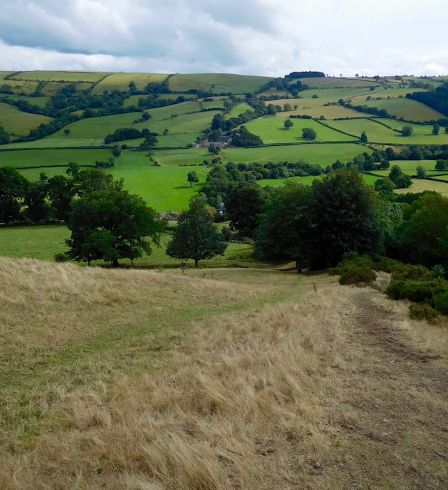
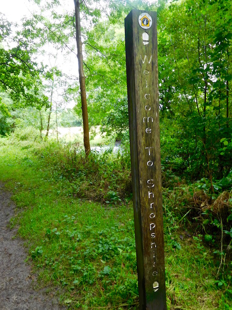
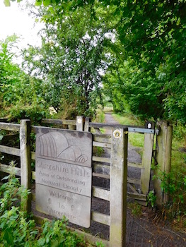
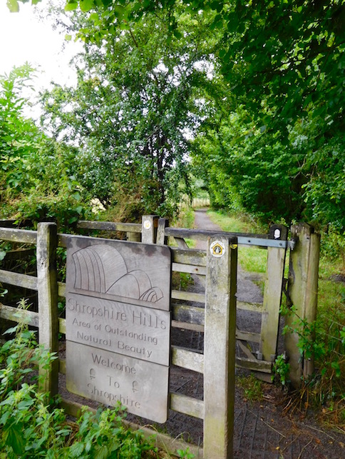
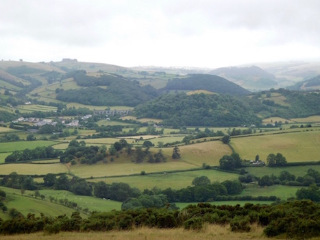
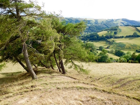
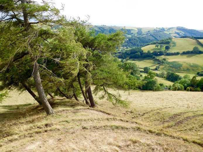
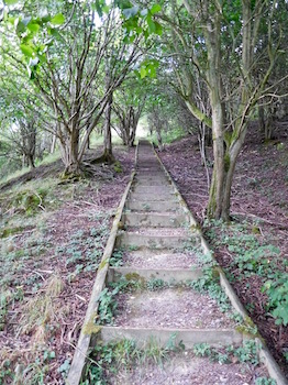
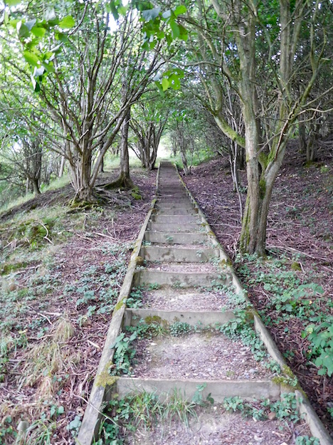
But catching my breath at the top of the hill, I took in some fabulous Shropshire views. No wonder this is another Area of Outstanding Natural Beauty. I'd say 'rolling hills' except the hills are too big to be rolling. Of course that beauty then meant that there were two more times I found myself thinking I was climbing a steeply angled dreamscape in Inception rather than Shropshire Hills. And one time where the downward slope through the forest was so steep I for the third time today thought I was going to slide down something on my butt.

Miracle of miracles, I continued my 64 day streak of not falling at all. I did, however, underestimate how long this second half of the walk would take me, and was an hour late meeting P, who thought I'd slid down a hill and been eaten by sheep.
Since I hadn't, obviously, we made our way slowly back through the narrow roads to Clun - where we set up our tent beneath an owl-filled tree at the first youth hostel in Britain - the Clun Mill. I have to say this Offas Dyke Path has had some really interesting places to stay.

