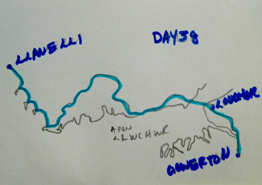

Day 38
Llanelli to Gowerton: 8.5 miles
Dish of the Day: Larb Gai
Reason: While not as good as Beau Thai's Larb Gai in Mt. Pleasant, it did the trick

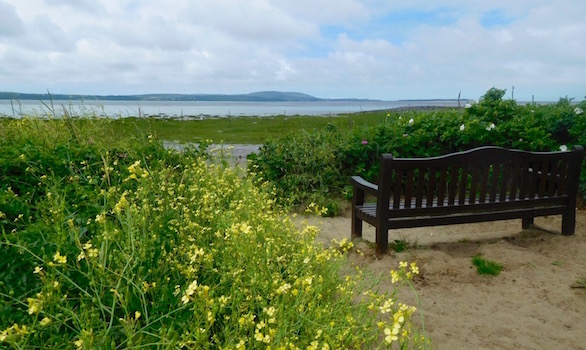
The walk out of Llanelli was largely past new build apartment buildings. I made my way from quay to quay and got a weird take on how different things look when you only pass them from the water, as opposed to going through them. Here at least, it seems like there's been a lot of work done along the coast. And while central Llanelli has some new build stores and the like, there are a lot of older buildings that could use some refurbishment.
I guess that's what happens to a tin town when tin pans go out of style.
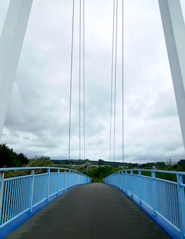
Machynys and Bwlch y Gwynt

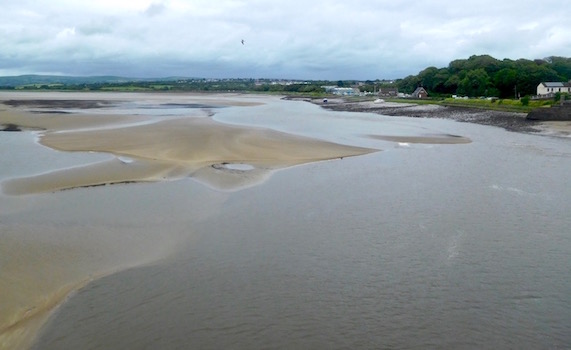
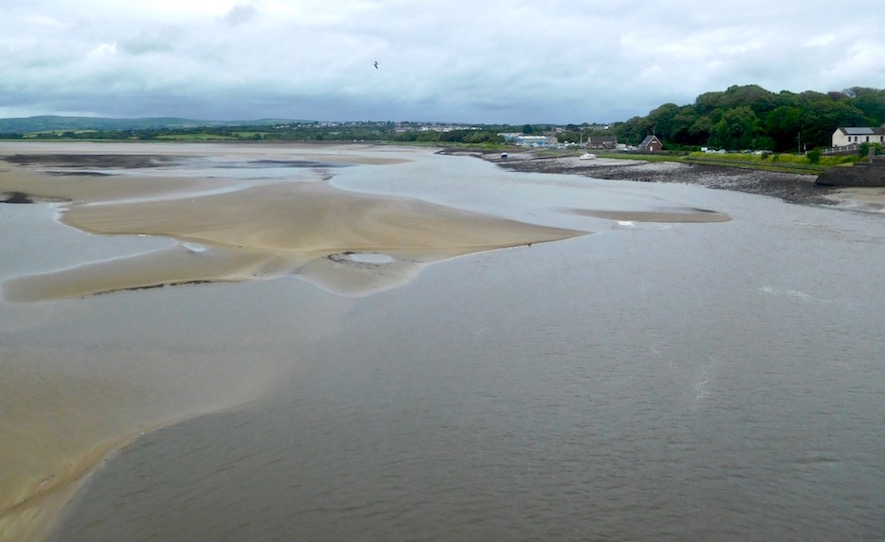
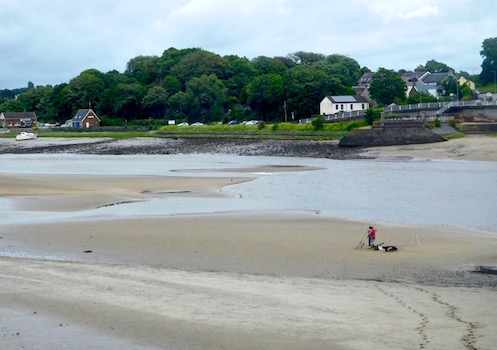
A short way outside of Llanelli, in front of a golf course, there are signboards and a few memorials referring to Machynys and Bwlch y Gwynt. Being the person who reads literally every single sign and memorial she passes, I stopped for a moment to check it out - because where I was standing had no discernable landmark or really anything at all on it, so I wondered what could have been there.
First, Machynys. Apparently this spot used to be an island and/or was so low lying that it used to be underwater a lot. And according to local legend supported by some 17th century writings it used to have a monastery. Eventually this was turned into a farm, and the interesting thing about it was that legend had it there was a tunnel that connected the monastery to the north coast of Gower, which you can see across the river/estuary, but still seems rather far for a tunnel. Apparently many former locals say they'd been in the tunnel when the area was a farm, but that it only went 30 meters - whether that was as far as it ever went, or whether it collapsed at some point (or ever existed at all) is anyone's guess.
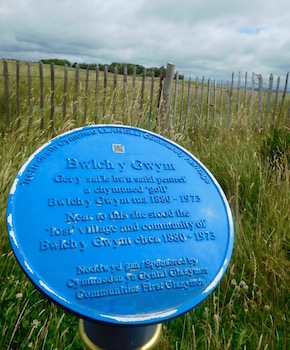
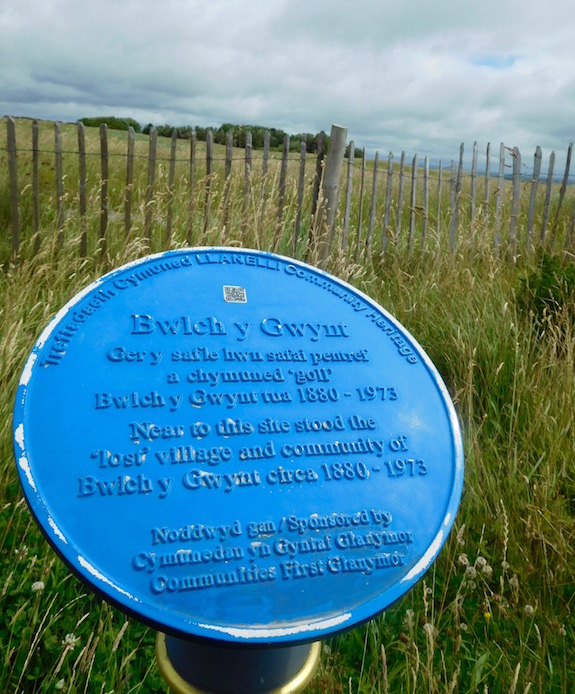
But the reason I said 'former' locals is that in the 20th century the village of Bwlch y Gwynt stood here. The placard commemorates a tiny village, with only a few roads, a phone box and a football team - that was apparently forcibly displaced for 'regeneration' (I assume this means building the golf course that's currently here) in 1971. I don't know the background, but lost villages in Wales - whether underwater for reservoirs or removed to build golf courses - always seem sad to me. I wonder where the people ended up going.
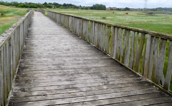
Skirting the Wildlife reserve
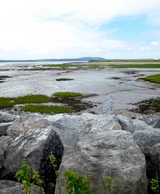
The path after this point cuts inland a bit, then back out as it runs alongside a wildlife reserve. I actually didn't see any wildlife at all, but I'm sure it's there. The views of the Gower were pleasant enough over the river, but unfortunately after several small bridges a lot of the walking was road walking. And very narrow road walking at that.

I find myself in these situations running from one side of the road to the other to try to make sure I'm in the line of sight of whoever's driving. I also occasionally find myself jumping into hedges because I'm just a little nervous about getting hit. But the good thing about it here is if you make an effort, you'll always get a friendly wave from the driver. Always. Which is cute and nice.
Gowerton on a Sunday

I reached Gowerton, and because it was Sunday (or I hope because it was Sunday) everything was closed. I ended up at a pub asking if they served food. They didn't, but told me otherwise there was a chippie and another pub that did serve food. But the vehement distaste of the young barwoman for the pub (she would apparently never go there ever ever ever, no really, not ever) made me think maybe I should just call it a day.
So that's what I did. And I was rewarded with another day of good food - Thai with actual spices in it (including for real Larb Gai which the waitress seemed surprised anyone was ordering). Wonderful.