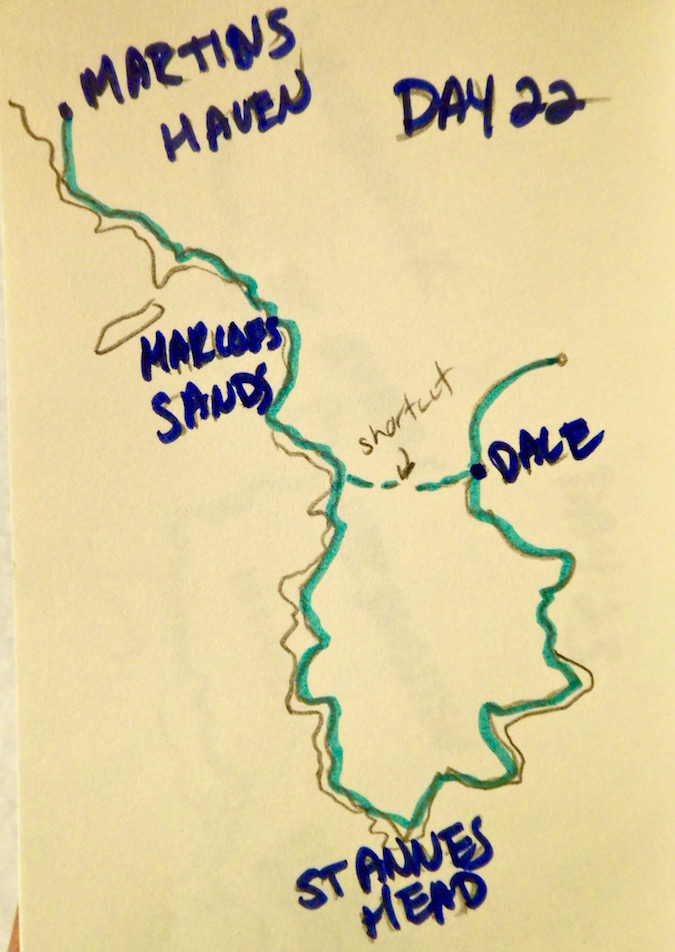

Day 22
Martins Haven to Dale: 10.5 miles
Notable occurence of the day: The bombs
Reason: I didn't expect there to be a live fire portion to my hiking

It's finally gotten dark at midnight, though there's a bright full moon. I find myself in a cold dark yurt, covered in thick blankets. I can hear bombs dropping nearby. It's the evening of the general election.
How did I get here?
One shortcut, one long road
After our lovely farmstay - complete with bathroom the size of my bedroom that was also inexplicably carpeted - P and I packed up to move on. I had wanted to be about 15 miles ahead of where we are now - well into industrial coastline country - but because of the weather it really hadn't been safe to walk. So I hoped to make up some miles today.
With the benefit of having a car to pick me up wherever we ended, I laid out the plan - P would drive me from 'Call me St. Ishmael's' to nearby Martins Haven where I'd left off. Then he'd drive himself to Dale, walking along the shortcut across the peninsula rather than along the coast, make his way up to Marloes Sands. I'd meet him on the way and then we'd go to St. Ann's head and back up toward the car in Dale.
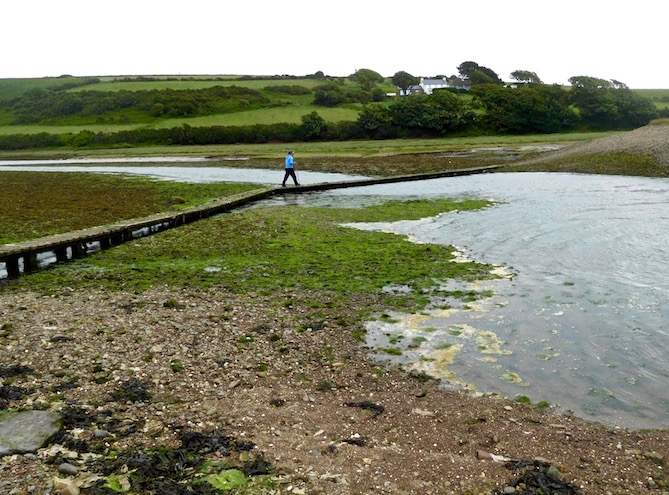
I hoped we could get there in time for low tide - because there's a small stone and wood walkway from Dale across to Musselwick Sands that only works at low tide. I hoped to just get across that today, and start there again tomorrow.
Raaaaiiiinnnn
The main underlying theme of the day was rain. Rain rain rain. Oh, and some significant wind - in particular when I started I seemed to be at the end of some sort of a funnel, with the wind blowing off the Atlantic all concentrated on knocking me off my feet. It did slow down eventually, which is good considering that Dale is known as the windiest place in Wales. But then I watched as the visibility over the water started to decrease, and decrease, and decrease, and then, it started pouring. Which was unfortunate, as Dale is apparently also known as sunniest place in Wales.
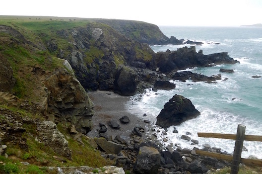
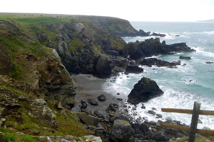
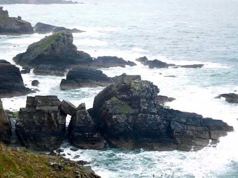
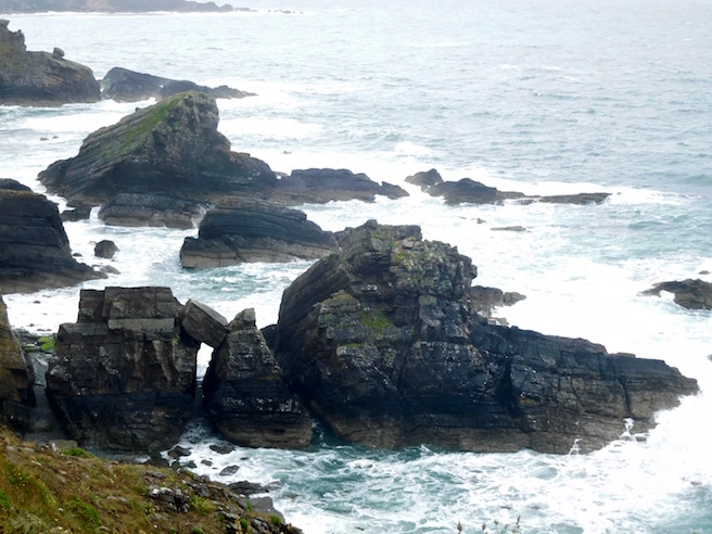
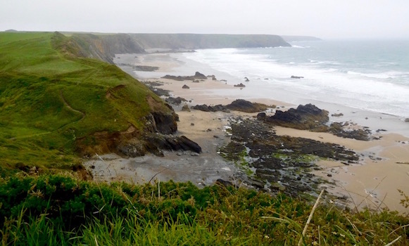
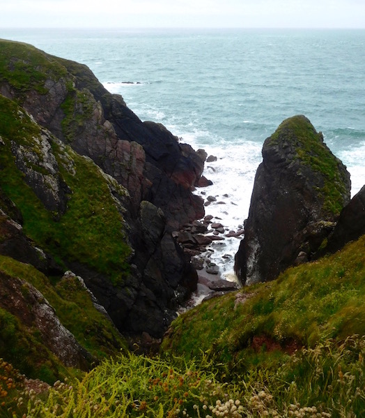
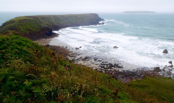
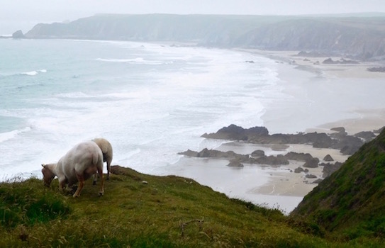
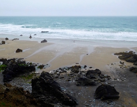
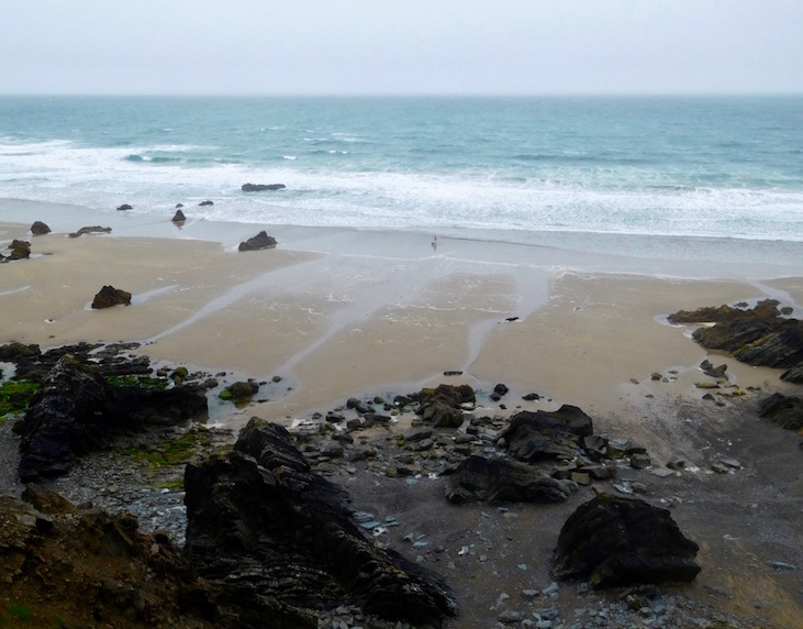
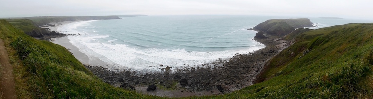
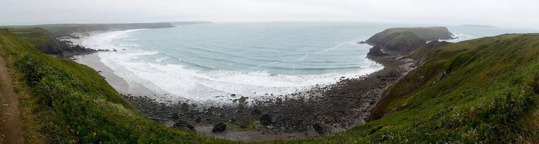
Unlike yesterday my waterproofing worked - probably something about not being actually submerged in three foot high plants covered in water. The coastal views were still lovely - beaches and deep blue water with corduroy waves hitting the jumble of rocks against the shore - but you could see where it would be even more amazing not in the fog.

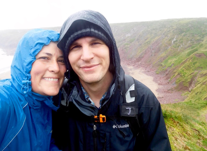
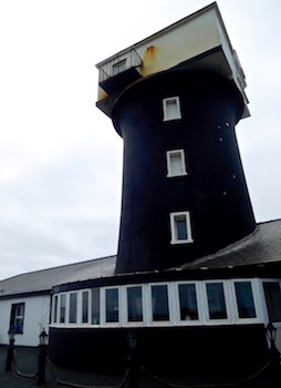
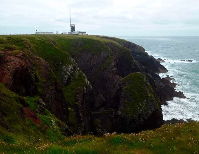
I meet P by Marloes Sands as planned, and we continued on in the rain. He commented at one point that my pace has certainly changed - since I'm in much better shape now doing this every day. We got to St. Anne's head in fairly good time, and saw the old lighthouse that now looks like a kind of cool private residence.
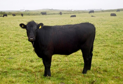
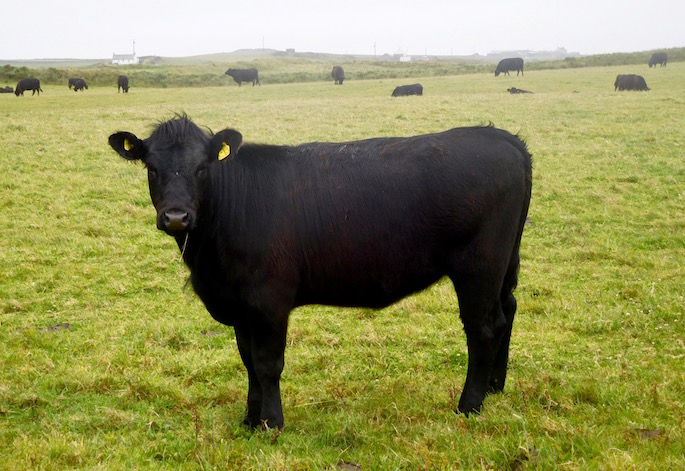
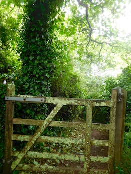
Here the trail takes a rather unfortunate turn off the road that goes past the lighthouse, and across a field. Unfortunate because specifically in this case the Arrow with the National Trail acorn was pointing directly at a cow standing with it's head over the gate I was supposed to go through. I proceeded to negotiate with my nemesis the cow, walking up to it and asking it kindly to please move. Which it consistently wouldn't do.

Eventually I put my hand on the gate, started to open it to see what it would do. At first it just looked at me funny and moved toward me. As I opened the gate more though, thankfully it moved further away. Probably to plot how best to kill me.
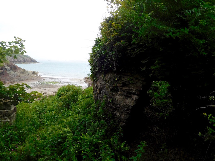
As such, we moved quickly through the field and eventually on the other side, came to the spot where Henry Tudor landed in 1485. From here he made his way to Bosworth Field, collecting Welshmen to his cause along the way, establishing the Tudor dynasty, and ultimately becoming Henry VII.
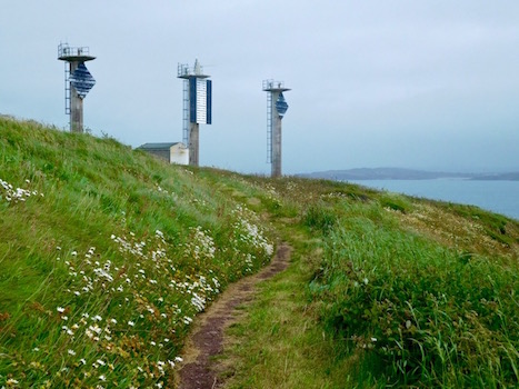
The history lesson quickly became more recent after this point - when the path went past giant concrete signals to help guide boats (particularly, I assume, the massive oil tankers in the distance) to find their way into Milford Haven bay. At this point I was rather glad the visibility was low - although Lord Nelson had at one point called this bay one of the more beautiful in the world - the tremendous number of oil refineries, industrial towers and other clutter have done away with a lot of that. So today, it was perfectly fine that I could only see the whole bay in a foggy soft-focus.

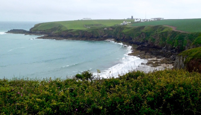
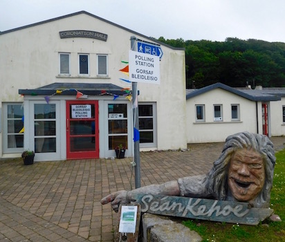
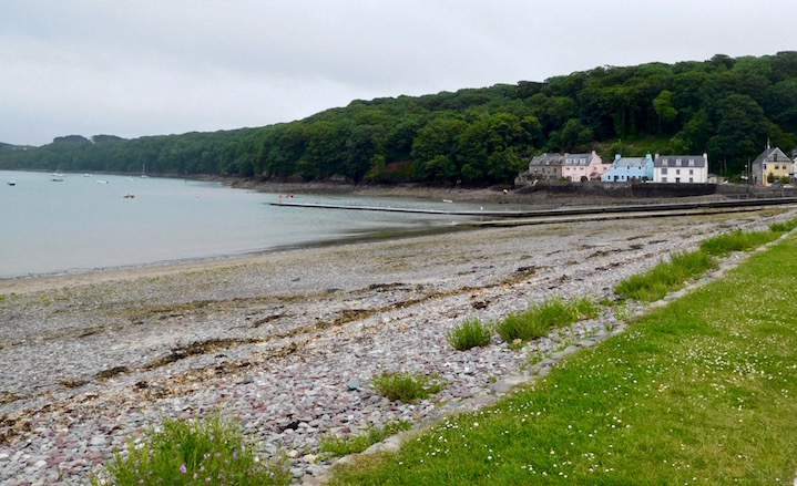
We made our way past these signals, through some Jurassic Park style woods with forest floors littered with giant ferns, past some small inlets and eventually into Dale where we were greeted with a large wooden sculpture shop and signs for the local polling place. P went to the car to drive to meet me by the Musselwick Sands crossing, and I walked up the road past the cute quieter part of Dale village, which low lying views and tiny inlets that reminded me of the Upper Cape (again, with the fog I couldn't see very far).
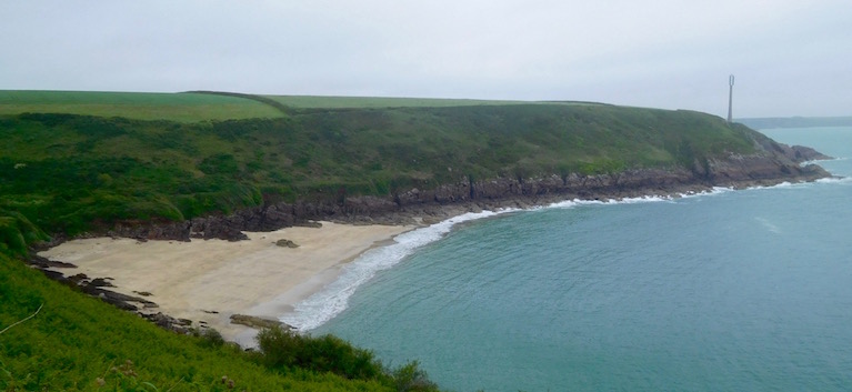
If I'd come just 10 or 15 minutes later, I don't think I'd actually have made it across the little bridge. The tide was coming in, and it was coming in fast. When I walked across, it was an inch or two below the walkway. When I walked back, the water was grazing the bottom of it. Yikes.

Oh, did you want to know why there were bombs and a yurt involved?
Finished with the walk of the day and with wet shoes, we went on to celebrate P's birthday - by driving an hour backwards to St. David's. I'd made a reservation at a restaurant that was recommended to me while I was staying in St. David's, and even though it was now well out of the way (and a bit pricey), going to St. David's Kitchen was well worth it. I had an amazing lamb dish, P had a fabulous steak dish with truffle fries, and also a gin and tonic with local Welsh botanical gin and local Welsh tonic. Just lovely.
Then, of course, we drove back down to southern Pembrokeshire where we would be staying for the evening. P had made up for his earlier inability to find accommodation by booking in for three days at a hostel in Manorbier. Although a few days ahead of where we were currently walking, it seemed like a good base and ultimately I'd be able to walk right in and out.

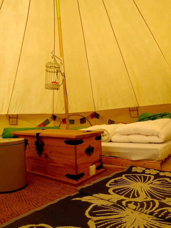
And when we got here, it turns out we'd booked a giant yurt - as apparently many of the hostels here have gone down the 'glamping' road (a term I really, truly can't stand, but fine if what you like is an outdoor hotel room, I really don't judge that, please just please, please stop calling it glamping). So we found ourselves walking into a giant yurt that can sleep 5, full of futons, big purple bean bag chairs, a single electric lantern, upcycled woven Indian plastic mats (I know because I used to have one of these on my porch), and... a length of Tibetan prayer flags. Sigh.
Anyway, it was a bit cold, but we're technically camping and P had brought the giant warm blanket so no matter. Then I realized that the giant booms I heard in the distance probably weren't the wind making the yurt shake. This part of Wales has many out of bounds MoD training areas. Clearly, we were in yurt and bombs were falling nearby.
I closed my eyes hoping these people knew how to aim.